How do you work in Earth observation analytics?

Working in Earth Observation (EO) analytics means applying specialized knowledge to interpret the vast amounts of data collected remotely about our planet’s surface, atmosphere, and oceans. [1][4] It’s a field that sits at the intersection of space technology, data science, and real-world problem-solving, shifting from niche research to a mainstream industry driving decisions in everything from agriculture to urban planning. [5] To understand how one works in this area is to trace a path through specialized data handling, advanced computation, and communicating complex findings to decision-makers. [2]
# Observation Basics
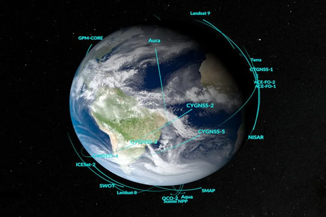
Earth observation involves collecting information about Earth's physical characteristics and environment using sensors mounted on satellites, aircraft, or drones. [1][4] This data acquisition is fundamental; the information comes in many forms, including imagery, elevation models, and measurements of atmospheric or ocean conditions. [4] The goal isn't just to take pictures from space, but to extract meaningful, measurable quantities from that data. [1] For instance, analyzing changes in vegetation health over time or tracking the extent of sea ice are core activities that require understanding the different types of sensors and the spectral bands they capture. [4]
The data itself is often characterized by its resolution—spatial (how small of an object can be seen), temporal (how often a location is revisited), and spectral (the range of wavelengths measured). [4] Different applications demand different resolutions; monitoring rapidly developing weather patterns requires high temporal resolution, while mapping deforestation might prioritize high spatial resolution imagery. [4]
# Career Roles
The landscape of jobs in this sector is diverse, often overlapping, and is becoming increasingly integrated with general data science practices. [5][9] While the titles can vary significantly between government agencies, commercial entities, and research institutions, they generally fall into a few key buckets: the Earth Observation Scientist, the Satellite Data Analyst, the Remote Sensing Analyst, and the Geospatial Data Scientist. [1][2][7][6]
The Earth Observation Scientist often has a strong grounding in atmospheric, oceanographic, or terrestrial sciences. [1] Their work focuses on understanding the physical processes on Earth and developing the scientific models and algorithms that can translate raw sensor data into geophysical parameters, like soil moisture or cloud optical depth. [1] This role emphasizes scientific rigor and model validation.
In contrast, a Satellite Data Analyst or Remote Sensing Analyst is more focused on the operational application and processing of this data for specific, often recurring, tasks. [2][7] A remote sensing analyst, for example, specializes in interpreting the raw data, often using techniques like image classification, change detection, and spectral signature analysis to answer specific questions about land cover or infrastructure status. [7] They need deep knowledge of how sensors interact with the environment to select and process the right imagery for a project. [7]
The modern incorporation of these roles into the broader tech sphere has given rise to the Earth Observation Data Scientist. [6][9] This professional bridges the gap between pure science and large-scale data processing. [6] They are proficient in statistical analysis, big data architectures, and increasingly, machine learning techniques to automate pattern recognition in massive archives of satellite data. [6][3] In some organizations, such as a centre like C-CORE, this role specifically involves applying advanced computational methods to EO data to address specific industry challenges. [6]
It can be helpful to think of this not as a rigid hierarchy, but as a spectrum of focus:
| Focus Area | Primary Activity | Key Outcome |
|---|---|---|
| Scientist | Developing new physical models and algorithms | Scientific Publications, New Processing Chains |
| Analyst | Applying existing tools to specific user questions | Timely Reports, Feature Extraction |
| Data Scientist | Building scalable, automated data processing systems | Production-ready ML Models, Cloud Pipelines |
| [1][2][6][7] |

# Data Handling
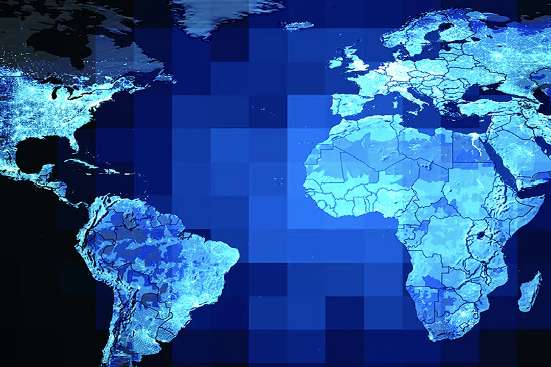
Working in this field inherently means managing big data. [5] Satellite missions generate petabytes of information, requiring analysts to be proficient in data architectures that can handle geospatial information efficiently. [9] A critical early step in any project is the data preparation phase. [2] This isn't just downloading files; it involves selecting the correct data products based on the sensor characteristics, the time of year, and the necessary atmospheric corrections. [4] If you are using optical data, for example, you must account for factors like cloud cover, shadows, and atmospheric scattering before any analysis can begin. [4]
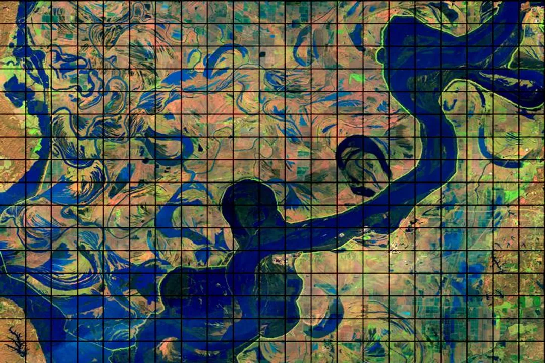
When dealing with raw imagery, the concept of bands is central. Visible light is only a small part of what satellites measure. [4] Analysts routinely work with infrared, near-infrared, and thermal bands, which are invisible to the human eye but carry vital information about vegetation stress, water content, or surface temperature. [4]
A practical consideration many newcomers overlook is the sheer volume versus storage. While cloud providers offer nearly infinite storage, the cost of moving and processing that data often becomes the bottleneck rather than the storage fee itself. Therefore, an analyst skilled in local processing or leveraging cloud-native data access patterns—only pulling the specific pixels needed—gains a significant efficiency advantage over those who download massive scenes unnecessarily [original insight 1]. This efficiency is why cloud-native geospatial tools and platforms are gaining traction in the community. [9]
# Essential Competencies
The required skill set for success in EO analytics is interdisciplinary, demanding both hard technical skills and strong domain expertise. [2][7]
# Technical Foundations
Programming is non-negotiable. Languages like Python are dominant due to their extensive libraries for scientific computing, data manipulation, and machine learning. [3][2] Specific libraries for handling geospatial data, such as GDAL, Rasterio, and tools within the scientific Python stack (like NumPy and Pandas), are daily requirements. [9] Experience with GIS software—ArcGIS or open-source alternatives like QGIS—remains important for visualization, spatial querying, and initial data exploration. [7]
Machine learning is increasingly integrated into the workflow. [3] Tasks such as automated feature extraction, change detection, and classifying land cover are often executed using supervised or unsupervised learning models. [3] If you are aiming for the Data Scientist track, a solid understanding of deep learning architectures, especially Convolutional Neural Networks (CNNs) suited for image analysis, becomes essential. [3]
# Domain and Analytical Depth
Technical skills alone are insufficient. The interpretation of the data requires domain knowledge. [1] A person analyzing crop yields needs to understand plant physiology and agricultural cycles, just as someone tracking ice melt must grasp glaciology or oceanography. [1] This expertise allows the analyst to select the correct algorithms and, crucially, to assess whether the output makes physical sense. [1]
For instance, interpreting a high value in the Normalized Difference Vegetation Index (NDVI) is straightforward if you know it indicates healthy green vegetation. However, knowing why that value changed—was it drought, a new construction site, or simply a seasonal change in leaf-off—requires the domain knowledge that separates a technician from an analyst [original insight 2]. This domain understanding dictates what questions the technology can actually answer accurately.
The process for many analysts involves several distinct phases, moving from raw input to actionable insight:
- Data Ingestion and Selection: Identifying and downloading the most appropriate satellite data product. [2]
- Preprocessing: Applying atmospheric corrections, geometric registration, and mosaicking scenes. [2][7]
- Analysis: Applying statistical tests, running spectral indices, or training/applying machine learning models. [2][3]
- Validation: Comparing results against ground truth data or established benchmarks to ensure accuracy. [1]
- Dissemination: Presenting findings through maps, reports, or interactive dashboards tailored to the end-user. [2]

# Career Trajectories and Growth
The demand for these skills is accelerating as governments, industries, and environmental agencies place greater importance on real-time planetary awareness. [5] This rise in space data jobs reflects a wider trend where complex spatial data is moving out of academic labs and into commercial application across various sectors. [5]
A common career entry point involves roles focused heavily on processing and analysis—the Satellite Data Analyst or Remote Sensing Analyst positions—which build fundamental experience with data structures and quality control. [2][7] As an analyst gains experience, they often specialize further, perhaps focusing on a specific geographic region, a sensor type, or a particular application area like disaster response or infrastructure monitoring. [1]
Advancement frequently leads toward the Data Scientist track, where the focus shifts towards engineering more efficient, scalable solutions capable of processing years of archived data quickly. [6][9] Professionals moving into senior scientist or principal roles typically must also develop skills in project management, grant writing (in academic/government settings), and team leadership, often requiring a Master's degree or a Ph.D. depending on the required level of scientific model development. [1]
The ecosystem is evolving to support this growth. Platforms and communities focused on open science and cloud computing, such as those using scalable geospatial tools, are key areas where people are finding opportunities to contribute and develop their expertise quickly. [9] Building a portfolio that demonstrates successful application of these skills across different data sets is often more persuasive than a list of credentials alone in demonstrating practical capability. [3]
#Videos
Earth Observation 101 - Part 1: How does it work? - YouTube
Related Questions
#Citations
Who is an Earth observation scientist? - Space Awareness
Understanding the Satellite Data Analyst Role: Skills and Career ...
Advice about Earth Observation Job : r/learnmachinelearning - Reddit
Earth Observation Data Basics | NASA Earthdata
The Rise of Space Data Jobs: Careers in Earth Observation and ...
Earth Observation Data Scientist - C-CORE
How to Become a Remote Sensing Analyst - GISDegree.org
Earth Observation 101 - Part 1: How does it work? - YouTube
Geospatial Data Science opportunities - Career Advice - Pangeo